 Flag Grids
How to Play Country Shape
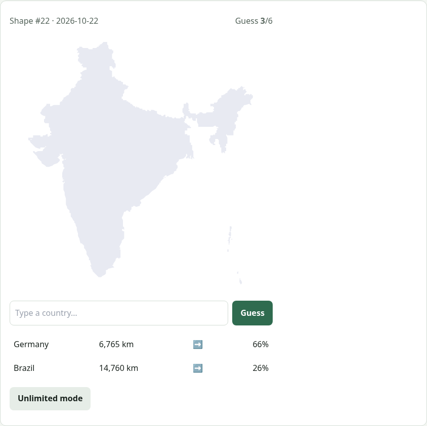
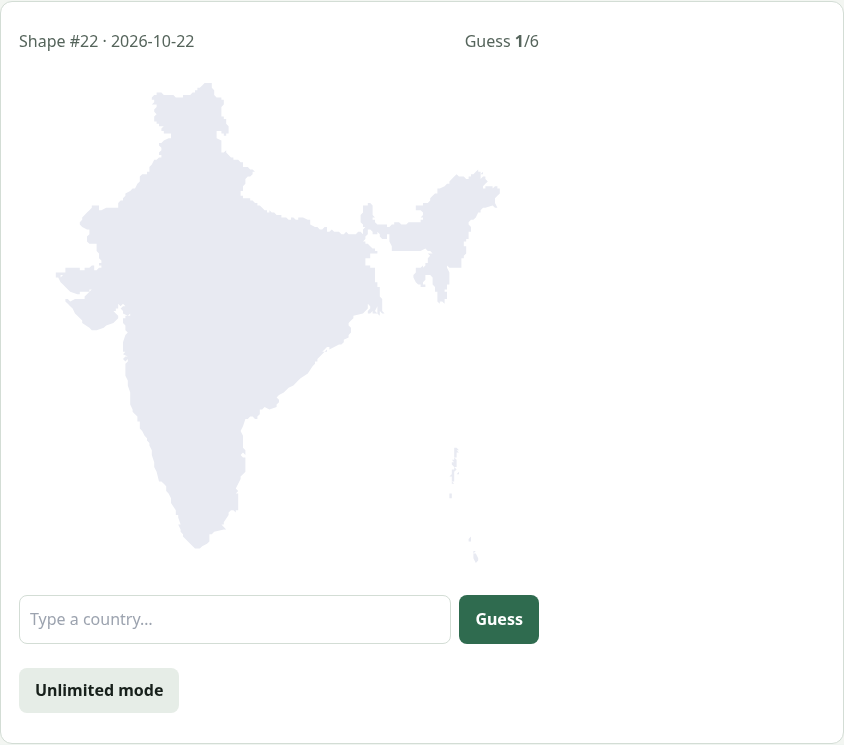
- Look at the outline. Today's mystery country is shown as a silhouette with no labels, neighbours or colours.
- Make a guess. Type a country name, choose it from the list and press Guess.
- Follow the hints. Each guess shows the distance in kilometres, an arrow pointing toward the answer and a proximity percentage.
- Narrow it down. Use the arrow and distance together with the shape's coastline, borders and proportions.
- Solve in six. Name the right country within six guesses. You then see its region, population and area.
- Keep the streak. Your daily streak and statistics are saved. Share your result and play again tomorrow.
What Is Country Shape?
Country Shape is a geography game that asks a deceptively simple question: what country is this? You see one outline, the shape of a country’s borders and coastline, with no neighbours, no labels and no colours. You get six guesses. After each guess the game tells you how far your guess is from the mystery country, which compass direction to head in and how close you are as a percentage. Most players need a few guesses to get oriented, then use the shape to pin down the answer.
Shape recognition draws on a different kind of knowledge from flag quizzes. You need to remember what countries actually look like on the map: Italy’s boot, Chile’s long sliver, Norway’s jagged coast, the panhandles of Namibia and the Democratic Republic of the Congo. Famous shapes are easy. The real challenge is the dozens of compact, blob-shaped countries that look alike, and that is where the distance and direction hints become essential.
Rules and Scoring
| Rule | Detail |
|---|---|
| Guesses | 6 |
| Feedback | Distance, compass arrow, proximity % |
| Pool | Countries larger than 2,000 km² |
| Scaling | Every outline fills the frame (size is not a clue) |
| New puzzle | Midnight, local time |
| Extra modes | Unlimited, archive, hints page |
Tips and Strategies
Start central and big
Your first guess is mostly about locating the right continent. Guessing a large central country, such as Chad in Africa, Kazakhstan in Asia, Germany in Europe or Brazil in South America, gives you the most useful arrow.
Read the coastline
Is the shape landlocked or does it have a coastline, and on which side? A long western coastline suggests countries such as Portugal, Morocco, Chile or Norway. A shape that is almost all coastline is probably an island or peninsula.
Spot straight lines
Long straight borders usually come from colonial-era treaties along lines of latitude or longitude. They are common in North Africa, the Middle East and Central Asia, and on the US–Canada border. A shape with two or three ruler-straight edges is very likely Egypt, Libya, Algeria, Sudan, Saudi Arabia, Jordan or a similar country.
Look for panhandles and pinches
Narrow extensions are some of the strongest clues: Namibia’s Caprivi Strip, Afghanistan’s Wakhan Corridor, the DRC’s narrow access to the Atlantic, Thailand’s long southern peninsula and Myanmar’s southern tail.
Use proximity to finish
Once proximity passes about 80 percent, you are next door. List the neighbours of your best guess and match their shapes against the outline.
Features
- Daily outline: one shared puzzle for everyone.
- Unlimited mode: practise with endless random shapes.
- Archive: replay every past daily puzzle.
- Hints page: reveal clues one at a time.
- Accurate maps: Natural Earth outlines with all main islands.
- Streaks and stats: saved locally in your browser.
- Free and instant: no account, no download.
Why Country Outlines Are a Great Geography Test
Teachers have used blank outline maps for generations because they force you to recall a place rather than read its name. Country Shape turns that classroom exercise into a quick daily challenge with real feedback. Every wrong guess shows you where your guess is compared with the answer, so you build your mental map of the world as you play. Over weeks of play, regions that once felt like a blur, such as Central Asia, West Africa and the Balkans, become clear.
Outlines also tell stories. The odd shapes of many borders reflect rivers, mountain ranges, wars and treaties. Gambia follows the river it is named after; Chile is squeezed between the Andes and the Pacific; and Lesotho is entirely surrounded by South Africa. Recognising these shapes gives you a better sense of how the world was formed.
More Geography Games
Combine Country Shape with Guess the Flag for a daily flag and map double. Test your sense of scale with Higher or Lower: Population, or try the flag challenges Flag Fragment and Flag Connections.